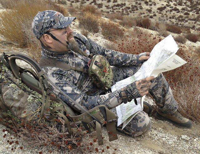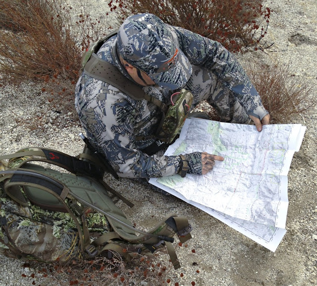
The MyTopo mapping service worked extremely well. You can search for a particular location or you can upload a GPX file from you GPS system. Pretty handy if you want a specified map of a place you have been researching and scouting. I opted to do a grid search through the website of a hunting spot I frequent. I also added the Public Land Boundaries feature for an extra $5.00. This was well worth the extra money in my opinion, but keep in mind that these borders can change in a moments notice.

I utilized the 24″ x 36″ folded map on numerous occasions during the latter part of the 2012 hunting seasons. They fit well into my pack and also took a beating. The material that is used is tough and built like a thin plastic. I sprayed it down with water and it held true – no ink smearing or running and it dried quickly.
After countless opening and folding, packing and unpacking the map held up very well and looks practically new. The 24″ x 36″ folded map with the public land feature costs $19.95. Shipping was fast and the map came well protected. If it’s an area you are going to hunt often the need for a map from MyTopo outweighs the cost considerably. I will be using my topo map from MyTopo this year and probably ordering another for a different area. Money well spent in my opinion!
Be First to Comment